Find all societies maps with Plotsmap
Online Maps With Plotsmap
Commercial & Residential Maps
Search Maps in Pakistan
Top Recent Searches
Future of Real-State Industry with Plotsmap
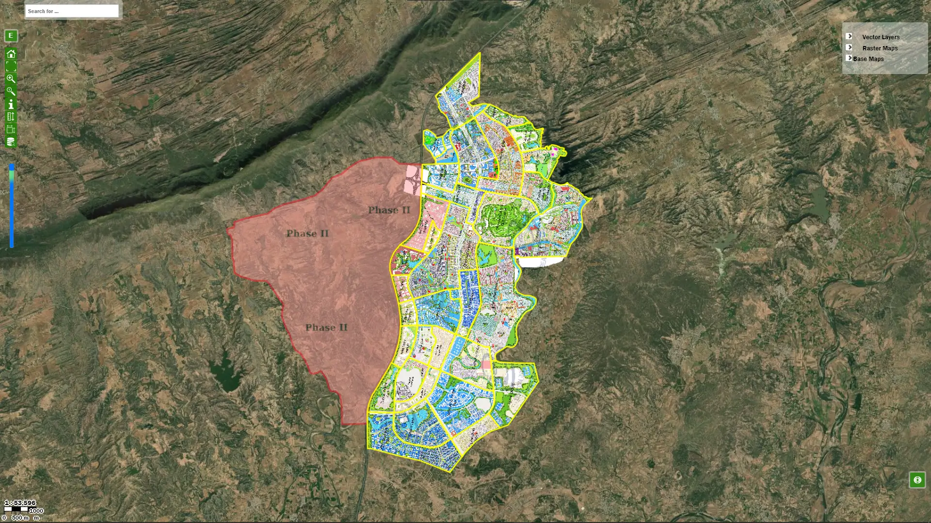
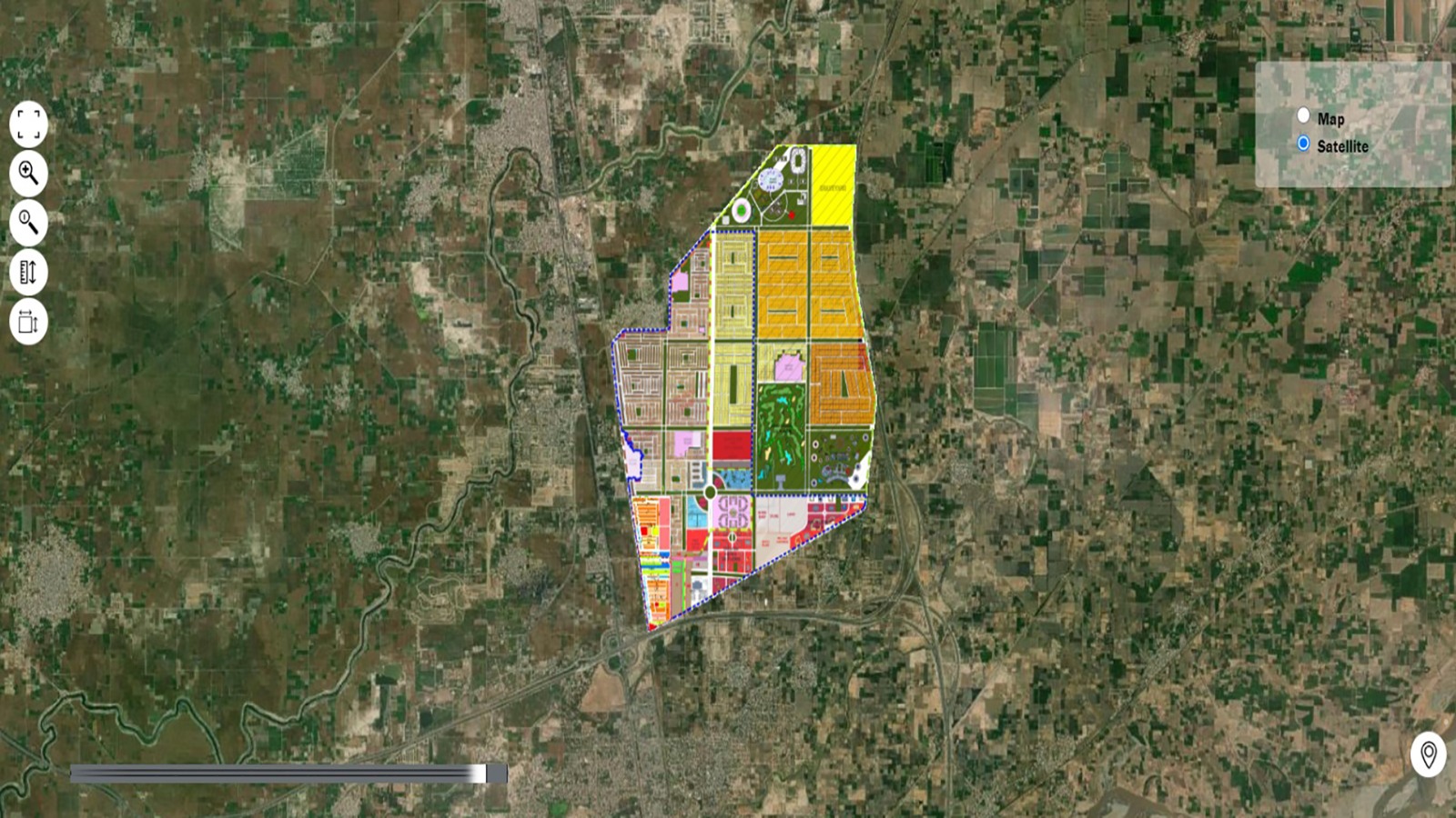
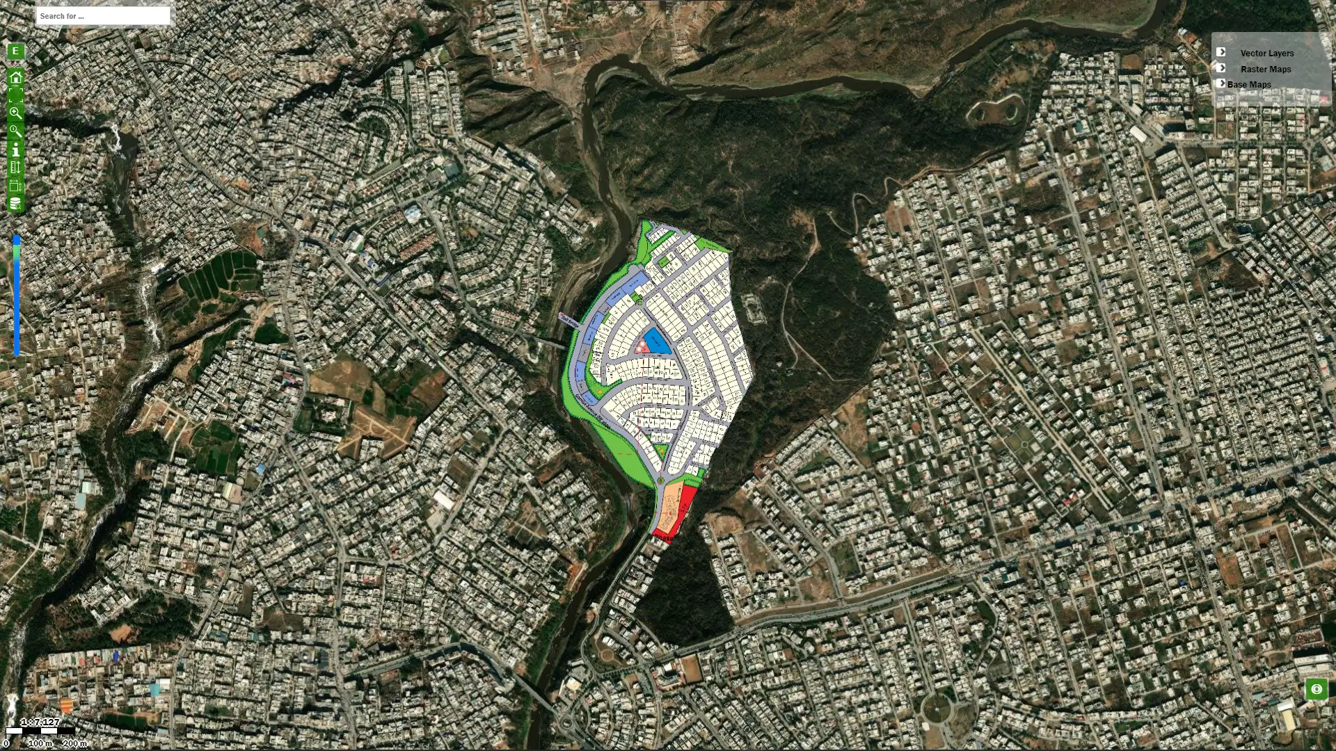
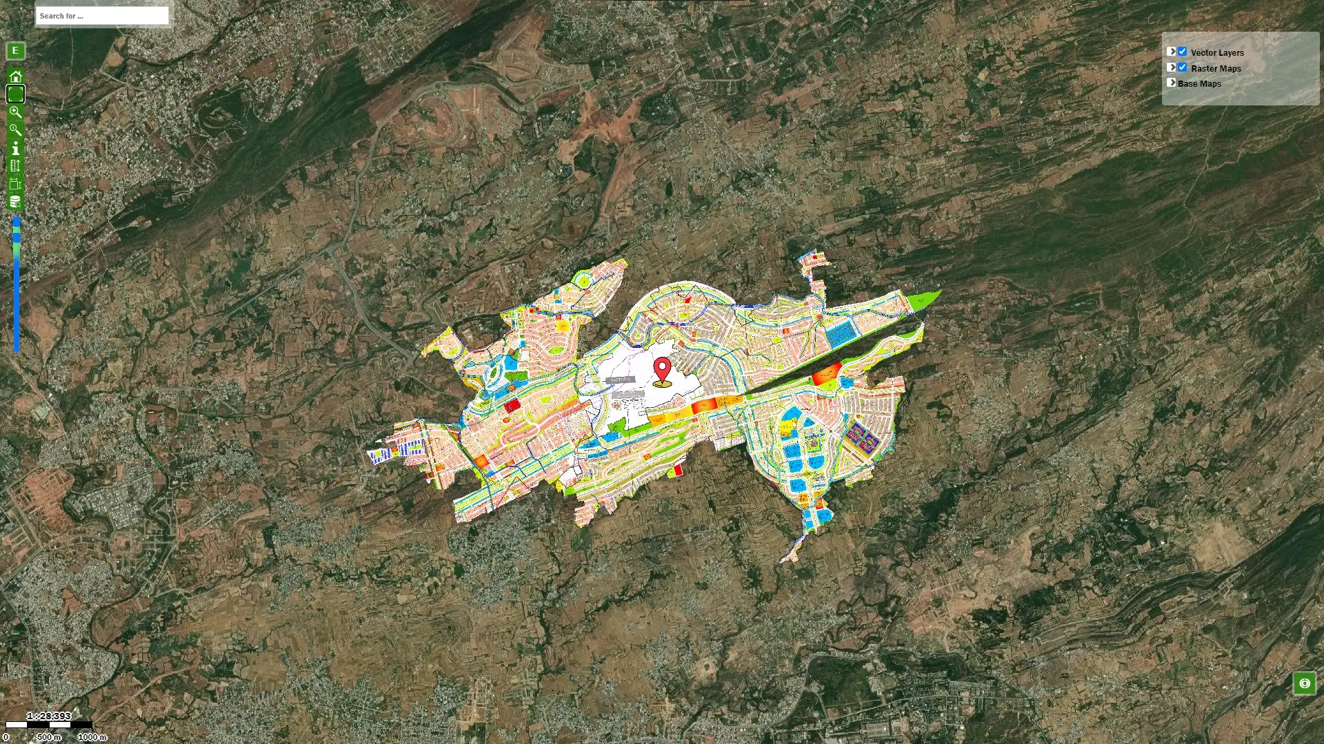
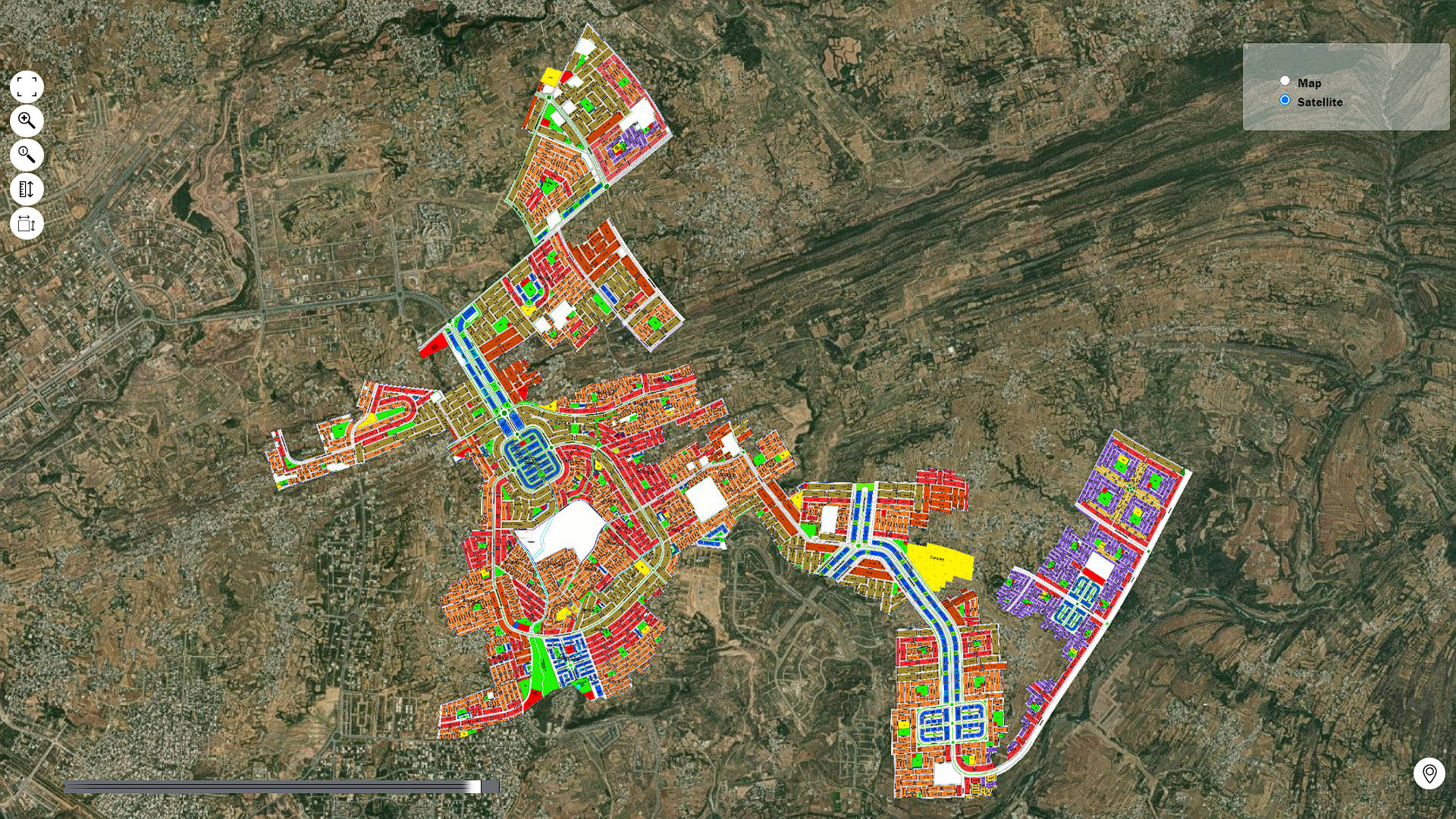
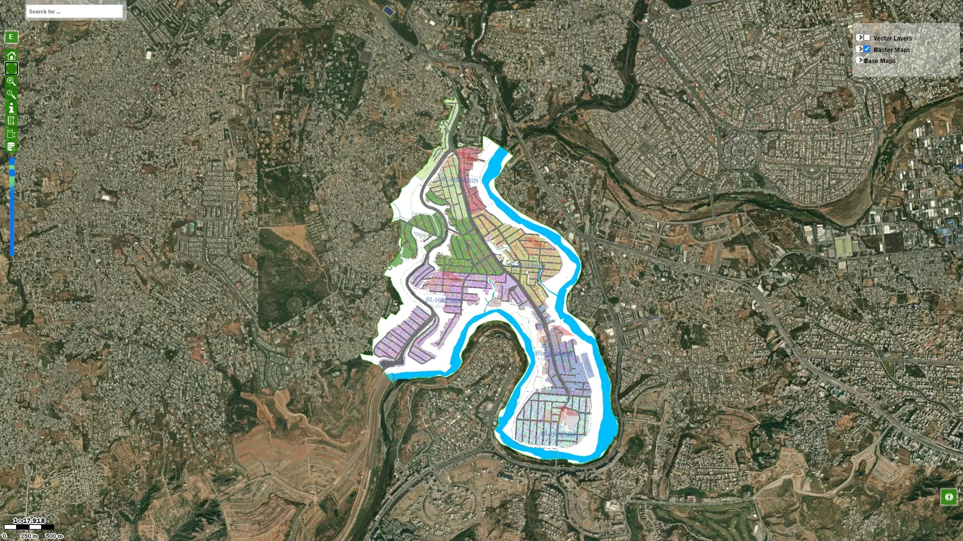
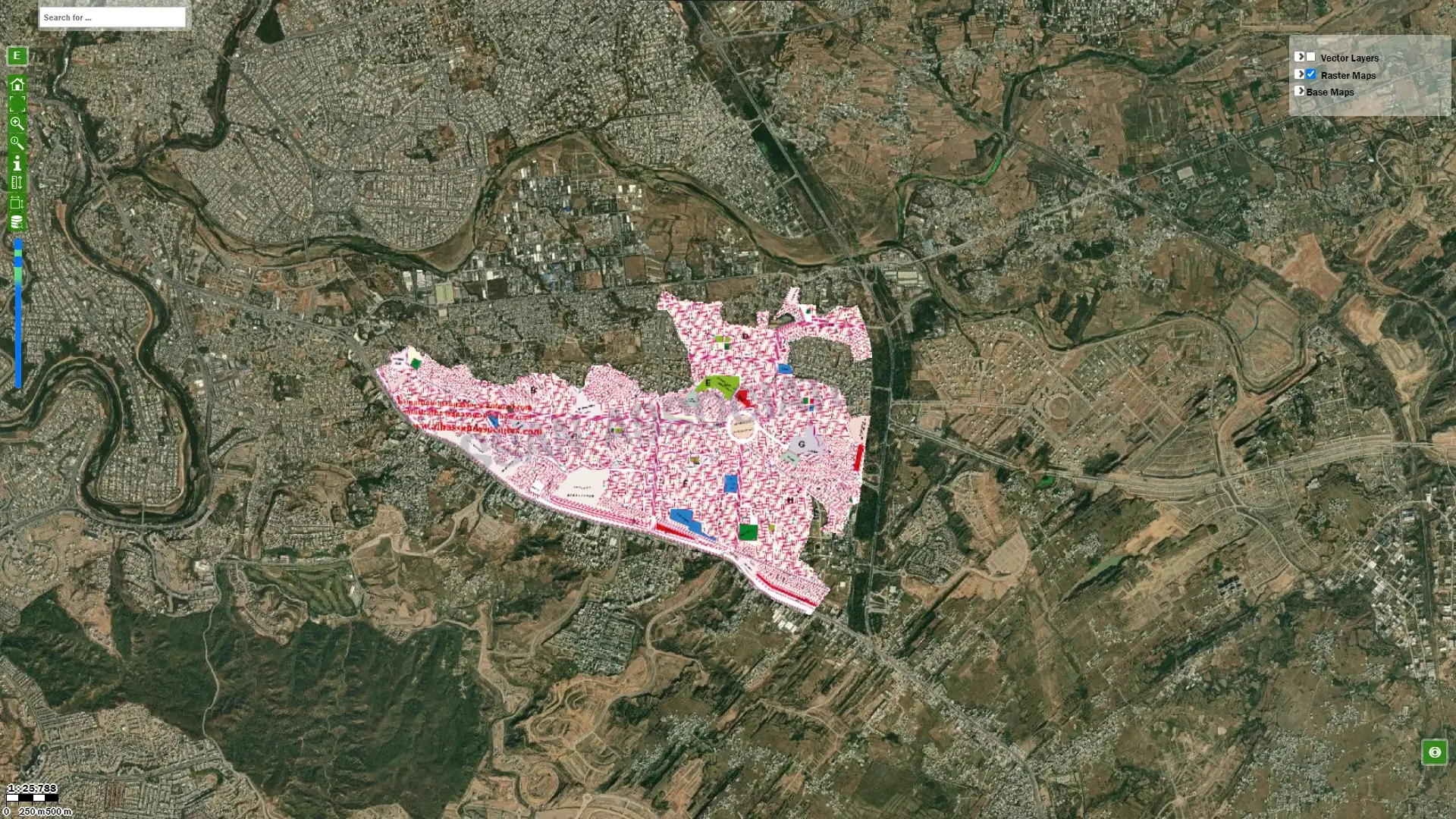
Plotsmap is a company specializing in Visualization and Geospatial technologies. At Plotsmap you can find satellite maps/images, live locations, live progress, housing society maps, and their development status, using our latest technology.
Plots Map is a growing initiative to assist the Pakistani real estate sector. Customers may view precise information like property addresses, plot numbers, and dimensions on this website.
- Worry-free services
- Trusted & experienced
- Quality work
- Service guarantee
Featured Services
Plotsmap provide the best map services
Receive all Information
You can locate up-to-date data on all the legal and authorized housing societies in Rawalpindi and Islamabad on Plots Map. Anyone can find out the Master Plan, Layout Plan, and Project Details. Both real estate owners and clients can benefit from our simple approach to bringing all of the information together in one place.
Historical Maps
Instead of using paper maps kept in drawers, Plots Map aims to bring the old scanned maps into the digital world with Plots Map. It is researched that an online map accessible to property sellers and buyers is better than using paper maps. It will improve efficiency so that everyone can make more informed decisions.
Finding Online Maps
Plots Map includes maps online on our website. We will create, fine-tune, manage, and deploy the maps online. Users can also ask for custom maps to show information about a geographic location. Users can conceal or reveal any layer as desired. The map will reveal useful information depending on what the user wants to see.
Geo and Spatial Data Development
Plots Maps has established itself as a reliable source of geospatial and spatial data. This project will assist real estate developers in creating a stable foundation by providing data services that enhance the value of data. We can bulk-import locations, divide location data with data filters, batch geocode addresses to latitude and longitude coordinates, use drawing and line tools on maps, add custom marker icons for every location, automatically compute area and perimeter length, simply measure between locations, share maps publicly or with authorized users, and much more.
Satellite Imagery Used on Plots Map
The Project links to different satellites that employ different sensors. Satellite imagery is one of the key aspects of the project because of its spatial resolution. Spatial resolution refers to the size of one pixel on the ground. Here pan-sharpening is used to boost resolution. Satellite imagery is one of the key features of the project because of its spatial resolution. The resolution is enhanced by panchromatic (grayscale) images of higher quality being combined with lower quality-colored images. Processing levels also vary with our data. Starting with raw sensor data.


